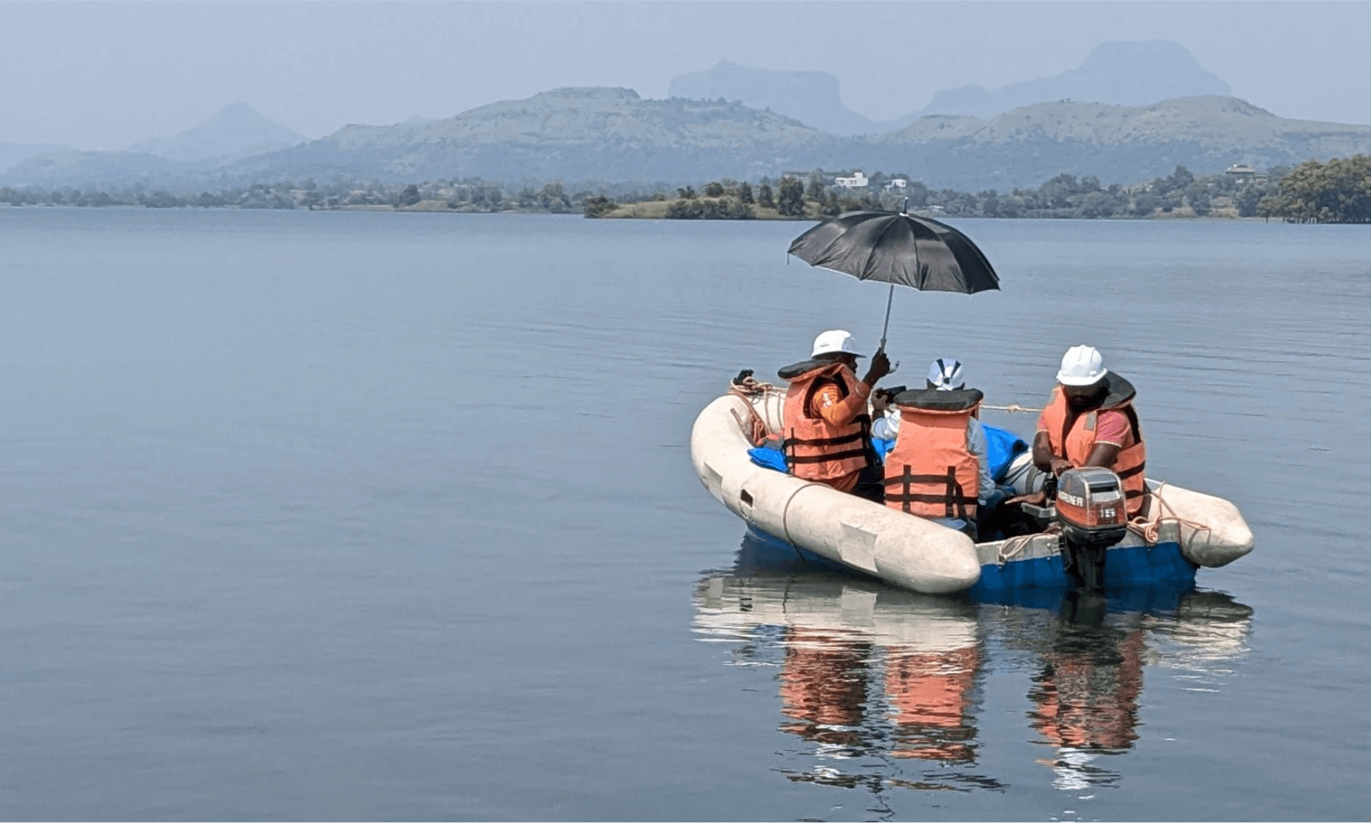


Hydrographic Survey
Comprehensive mapping & analysis of under water environments, ensuring accuracy and detail for various marine projects.
Explore More
Bathymetric Survey
High-resolution depth measurements and mapping using state-of-the- art single-beam and multi-beam echo sounders.
Explore More
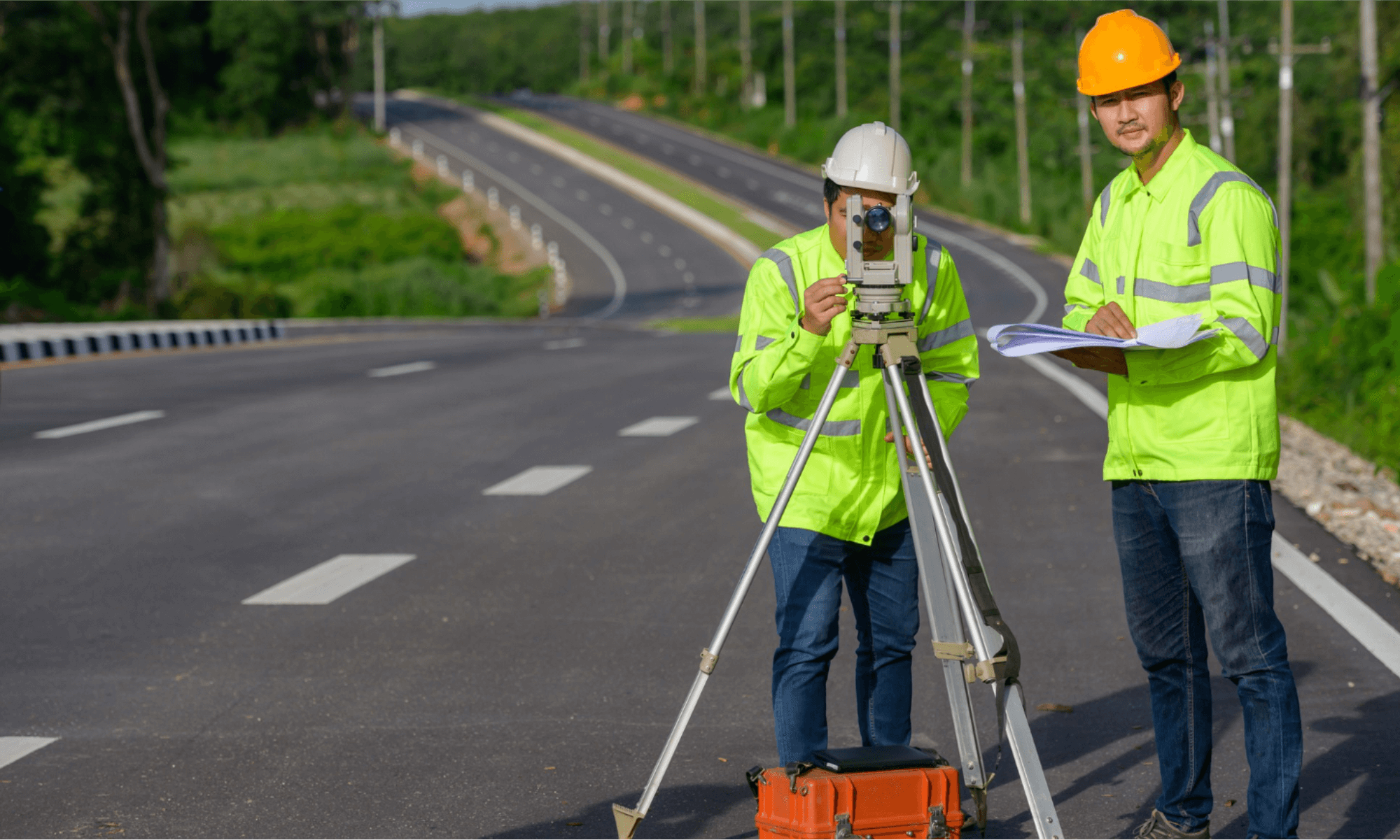
Topographic Survey
Precise measurement and mapping of land features to support infrastructure development and land- use planning.
Explore More
Multibeam Bathymetry Survey
Advanced under water terrain mapping with multibeam technology for superior accuracy and detail.
Explore More


