Comprehensive mapping & analysis of under water environments, ensuring accuracy and detail for various marine projects.
High-resolution depth measurements and mapping using state-of-the- art single-beam and multi-beam echo sounders.
Precise measurement and mapping of land features to support infrastructure development and land-use planning.
Advanced under water terrain mapping with multibeam technology for superior accuracy and detail.
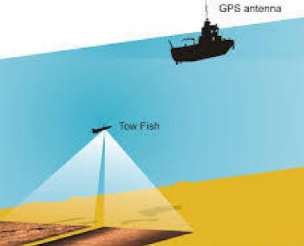
Underwater imaging for identifying seabed features, obstructions, and objects of interest with high clarity.
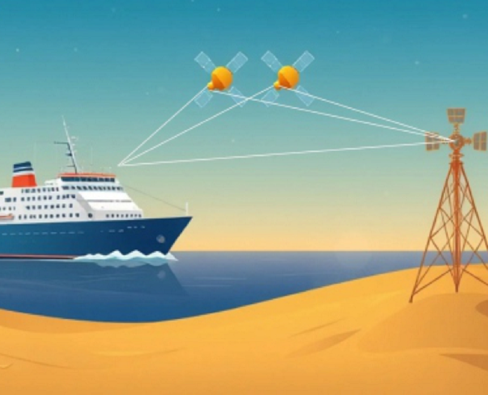
Accurate positioning and navigation support for maritime and land-based projects.
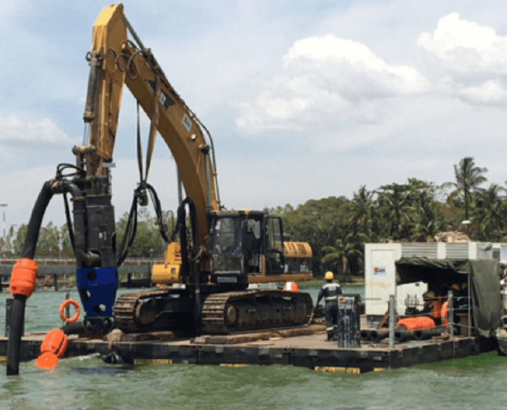
Monitoring and analysis of dredging activities to ensure accuracy, eciency, and compliance for marine and port development projects.
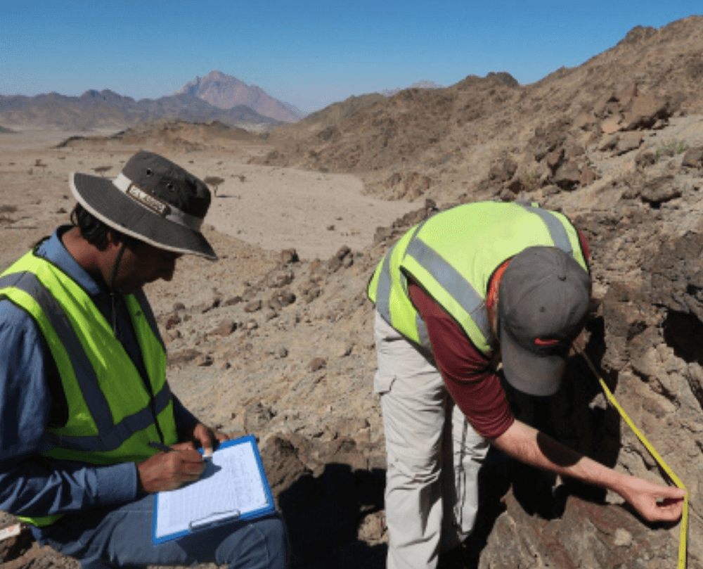
Detailed subsurface exploration and mapping using advanced geophysical techniques for infrastructure and resource assessment.
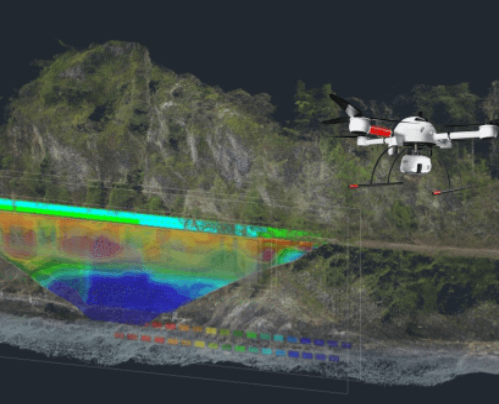
High-precision aerial mapping using drone-mounted LiDAR technology for topographic surveys and infrastructure planning.